Khanh Le Pass (1,700m) Rainy Season Safety & Alternate Routes
Practical planning guide for Khanh Le Pass (1,700m) Rainy Season Safety & Alternate Routes: compare departure windows, 4/7/16-seat vehicle pickup points, and seasonal road preparation.
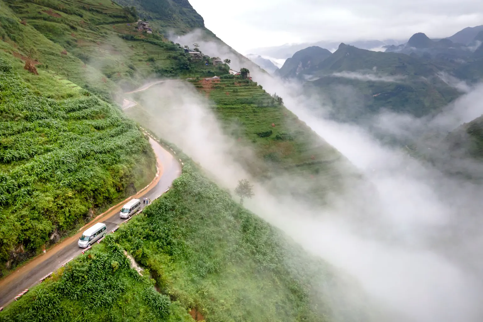
Table of Contents (4 sections)
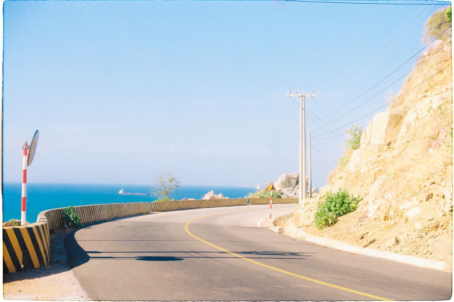
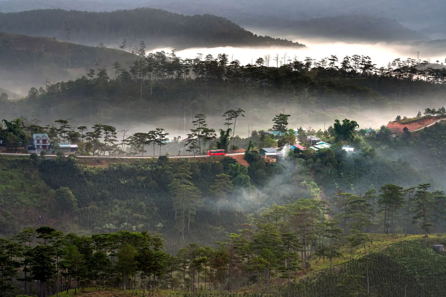
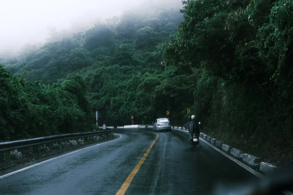
Khanh Le Pass on National Highway 27C is the most direct mountain artery linking the coastal city of Nha Trang with the Central Highlands plateau of Da Lat, climbing from the Khanh Vinh valley up to a summit elevation of 1,700m at Hon Giao peak across a pass section of about 30 km (actual road signs indicate 29–33 km). Because moist sea winds from the East Sea collide directly with the eastern slopes of the Truong Son mountain range, heavy rainfall and dense mountain fog frequently develop near the summit between September and December, requiring strict daytime departure planning.
To safeguard passengers on this high-altitude mountain corridor, Sun Travel follows three operational safety standards: we recommend crossing Khanh Le Pass during daytime hours, proactively monitor pass closures during heavy fog in the October–December rainy season to advise rerouting via National Highway 27 (Ngoan Muc Pass / Phan Rang), and help you reschedule under the Trip terms on the route page. Our well-maintained 4, 7, and 16-seat vehicles are operated by friendly local drivers who know every hairpin turn and brake-cooling rest stop along the pass.
Seasonal Weather Patterns and Safe Departure Windows on Khanh Le Pass (1,700m)
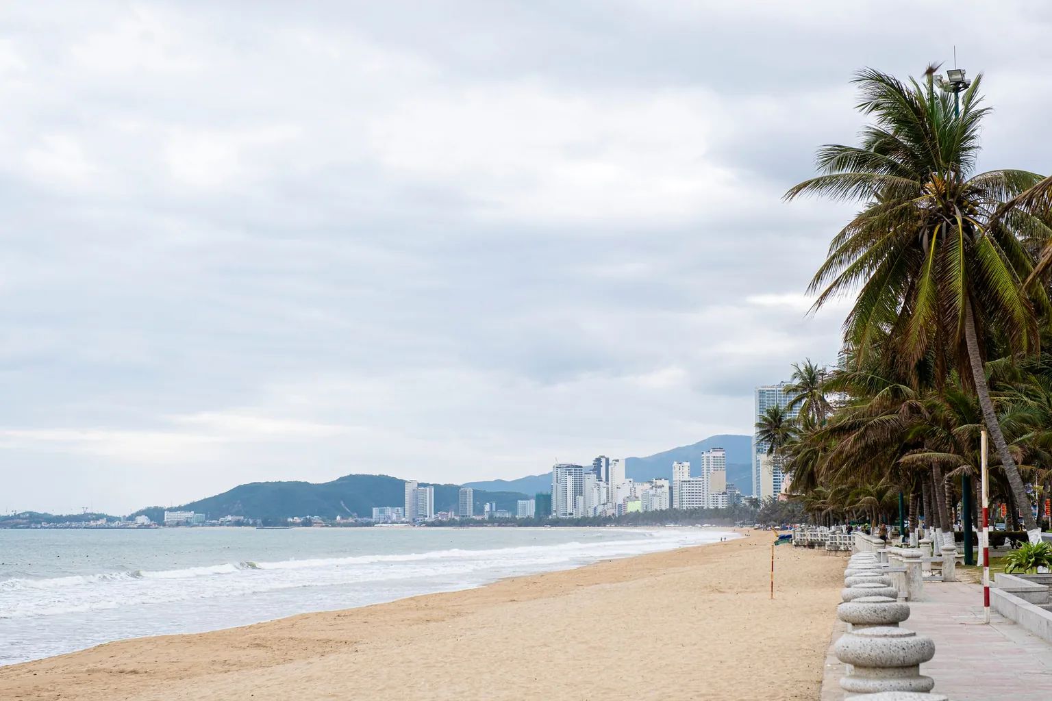
A private transfer between the coastal centre in Nha Trang Ward, Khanh Hoa Province and the highland centre in Xuan Huong - Da Lat Ward, Lam Dong Province crosses two contrasting microclimates within 135–140 km. Even when the sun is shining brightly along Nha Trang beach or over Vinh Hy Bay in Vinh Hai Commune, Khanh Hoa Province, the 1,700m summit at Hon Giao can be wrapped in cloud cover or afternoon mountain rain.
| Season | Weather Conditions on Khanh Le Pass (NH27C) | Recommended Departure Window | Sun Travel Driver Safety Protocol |
|---|---|---|---|
| January – August (Dry Highland & Sunny Coast Season) | Clear skies and dry asphalt in the morning; light mountain mist begins forming between 1,200m and 1,700m in the late afternoon | Depart Nha Trang or Da Lat between 07:00 and 13:30 | Maintain steady speeds across the 30 km pass; stop for 15 minutes at the Khanh Vinh or Lac Duong rest station to check tyres and give passengers a comfortable break |
| September – December (Eastern Truong Son Rainy Season) | Heavy afternoon and night rain; thick fog in the late afternoon; provincial authorities may enforce temporary traffic restrictions or pass closures | Recommended morning departure between 06:00 and 11:30 (cross during daytime hours) | Drivers engage low gear (engine braking) on descents to prevent brake overheating; if landslide warnings or pass closures occur, proactively switch to National Highway 27 |
To plan your cross-regional journey from Central Vietnam down to the South-Central coast and highlands, review our vehicle options on the Da Nang – Hoi An to Nha Trang – Da Lat private car page or explore the 5-day 4-night Da Nang – Nha Trang – Da Lat road trip car tour.
When Should You Reroute via National Highway 27 (Vinh Hy – Phan Rang – Ngoan Muc Pass)?
During prolonged monsoon spells from October to December, the eastern slopes of Khanh Le Pass in Khanh Vinh receive intense rainfall, which can trigger rockfalls or temporary barrier closures. Whenever road management authorities issue weather advisories, Sun Travel recommends switching to the southern highway corridor:
- Nha Trang – Cam Ranh – Phan Rang – Ngoan Muc Pass (National Highway 27) – Da Lat: This alternate route measures roughly 200–210 km (adding about 65–70 km and 90 minutes of driving compared to Khanh Le Pass). In exchange, Ngoan Muc Pass (Song Pha Pass) sits in the drier rain-shadow zone of the Phan Rang coast and is far less exposed to eastern slope flash floods.
- Combining the Vinh Hy Coastal Road on Your Alternate Transfer: If you depart Nha Trang or Cam Ranh Airport in the morning via Phan Rang and National Highway 27, your driver can take the scenic coastal road past Vinh Hy Bay, Hang Rai reef, and Thai An vineyards in Vinh Hai Commune before climbing Ngoan Muc Pass into Da Lat in the afternoon.
For detailed terms on route switching and schedule changes, read our Khanh Le Pass closure rerouting and rescheduling policy and our Cam Ranh Airport and Lien Khuong Airport private car pickup guide.
Planning Rest Stops on the Climb from Sea Level to 1,700m
- Altitude and temperature shift: The road climbs from sea level in Nha Trang to Hon Giao peak (1,700m) in about 45–60 minutes of mountain driving with a noticeable drop in air temperature. Families travelling with young children or seniors can let dispatch know in advance so the driver schedules unhurried rest stops along the pass.
Packing Warm Cabin Layers for the Nha Trang to Da Lat Ascent
- Keep warm layers inside the passenger cabin: Temperatures at the 1,700m summit and in central Da Lat are typically 8–12°C cooler than on the Nha Trang coast. Keep a windbreaker or light sweater in your daypack rather than packing all warm clothing inside trunk luggage.
Frequently Asked Questions About Khanh Le Pass Weather Safety
For Da Lat via the Khanh Le Pass in the rainy season, how much is a private round trip from Da Nang or Hoi An?
Current starting rates for Da Nang / Hoi An ↔ Da Lat via Khanh Le Pass (round trip): 4-seat car from US$283, 7-seat car from US$313 and 16-seat van from US$404. The listed price includes fuel, road tolls and parking; Sun Travel quotes the final fare based on your pickup and drop-off points, itinerary and departure time.
Why does Sun Travel recommend crossing Khanh Le Pass during daytime hours?
Khanh Le Pass spans about 30 km and reaches 1,700m at Hon Giao peak; in the late afternoon, dense mountain fog and rain often reduce visibility, and October–December rainy season advisories may restrict night traffic, making daytime travel essential for passenger safety.
What happens if Khanh Le Pass is closed due to heavy rain on the morning of our trip?
Our dispatcher and driver notify you prior to departure to reroute via National Highway 27 through Phan Rang and Ngoan Muc Pass to Da Lat, or help you move the trip to another day under the Trip terms on the route page.
Which vehicle is most comfortable for families with young children and seniors on the 30 km Khanh Le Pass?
For families with children or seniors traversing winding mountain switchbacks up to 1,700m, we recommend a high-clearance 7-seat MPV/SUV or a 16-seat minibus for generous cabin headroom and suspension stability.
Are there rest stops with clean restrooms along the 30 km Khanh Le Pass section?
Yes, covered roadside rest stations with clean restrooms and hot ginger tea are available at the Khanh Vinh base and mid-pass viewpoints before reaching the 1,700m Hon Giao summit, where drivers pause for 15–20 minutes.
📚 More Travel Guides